Boundary Surveys & Analysis
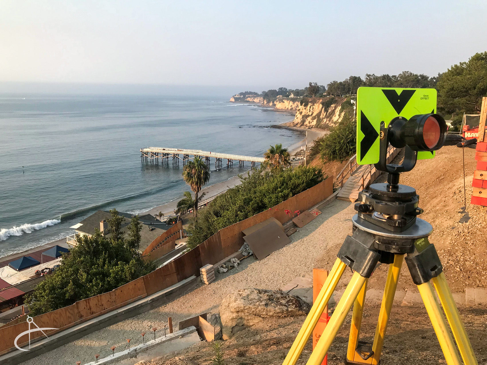
CNA has performed thousands of boundary surveys throughout California for both public and private sector clients. Whether your boundary needs are for a small lot survey or a large parcel of land, our team of experts can perform this service for you in a professional and timely manner.
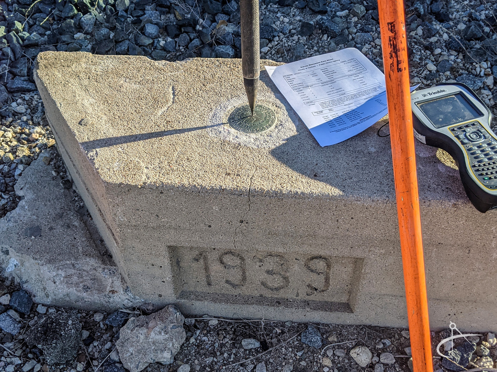
Boundary surveying is a highly detailed and intricate process that requires a variety of skills. The basic workflow involved includes the initial client consultation, the governmental and title research of the subject property and surrounding properties, field inspection, field measuring, collection of evidence, comparison of field evidence to governmental and title research, determination of boundary lines, recovering or re-setting missing property corners, preparation of the final reports, record of survey or corner record for filing with the county, and delivery of survey map to the client.
The primary reason for a boundary survey is to determine ownership lines, lines of occupation, mark the exterior boundary of a property and to then produce a map that delineates the property. This is a highly regulated process and the law requires a Professional Land Surveyor to supervise the project and to place a state authorized seal & signature on the final map.