Aerial Mapping & Remote Sensing
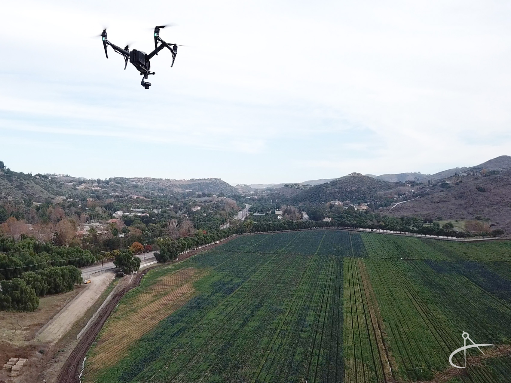
Aerial mapping is a form of remote sensing, which is the collecting of aerial photographs and/or LiDAR data utilizing planes, unmanned aerial system (UAS) drones, and/or satellite imagery data captured from a large distance from a project site; from 100 feet to as high as 60,000 feet. These images display a large area and can be stitched together and distortion corrected to create large orthographic photos called ortho-mosaics, using a technique called orthorectification. Once an image has been orthorectified, it can then be used as a base map for all kinds of information and mapping uses, as well as draped over a 3-dimensional surface.
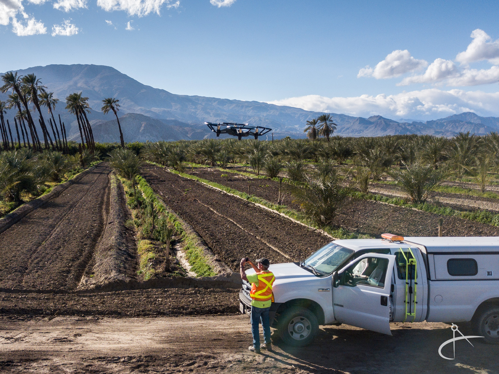
In order to ensure a high-quality product, we begin by planning our initial survey very carefully. CNA is conscious of governmental regulations and project location restrictions. We use professional grade UAS drones with digital cameras and LiDAR capabilities, fixed wing drones or aircraft for larger mapping projects to collect high-accuracy data and imagery. Because of the high-resolution nature of images captured with UAS drones, we are able to produce vivid images which display surface features that may not be visible on a traditional map, or are hard to visualize from the ground.
The collected imagery and remote sensing data is then processed using a combination of software and analysis by professional mapping technicians. This geospatial data processing method allows us to turn raw data into an accurate map and 3D surface model product in an efficient manner. We are experienced in topographic and planimetric maps, digital terrain models, parcel mapping, and many other solutions. CNA has worked with clients in many industries and governmental agencies, such as engineers, architects, attorneys, land development, energy/utility, mining and forestry.